World Geography Lessons: Complete Teaching Guide 2025
Effective world geography lessons transform students into global citizens by building spatial awareness, cultural understanding, and environmental literacy. Modern geography education integrates technology, hands-on activities, and real-world applications to engage K-12 learners across diverse learning styles and academic levels.
Essential Components of World Geography Education
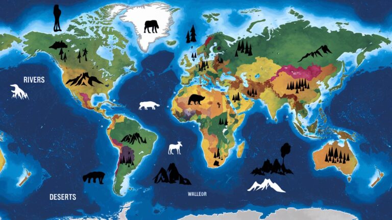
World geography lessons encompass five fundamental domains that create comprehensive learning experiences. Physical geography explores landforms, climate patterns, and natural processes that shape our planet. Human geography examines population distribution, cultural practices, and economic systems across different regions.
Environmental geography connects natural and human systems, highlighting sustainability challenges and conservation efforts. Political geography analyzes boundaries, governance structures, and international relationships. Regional geography synthesizes these elements to provide detailed understanding of specific world regions and countries through comparative analysis.
Physical Geography Foundations
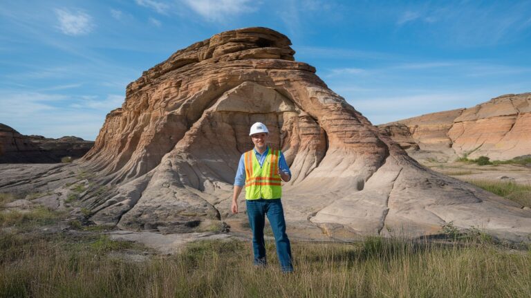
Students master geographical concepts through systematic study of Earth’s physical systems. Plate tectonics, weathering processes, and hydrological cycles form the foundation for understanding landscape formation. Climate zones, biomes, and natural hazards provide context for human adaptation and settlement patterns across different environments.
Human Geography Applications
Cultural geography lessons examine how societies organize space, develop traditions, and interact with their environment. Urban planning, migration patterns, and demographic transitions illustrate human geography principles through real-world examples. Economic geography connects resource distribution, trade networks, and development patterns to global interconnectedness.
Age-Appropriate Geography Curriculum Structure
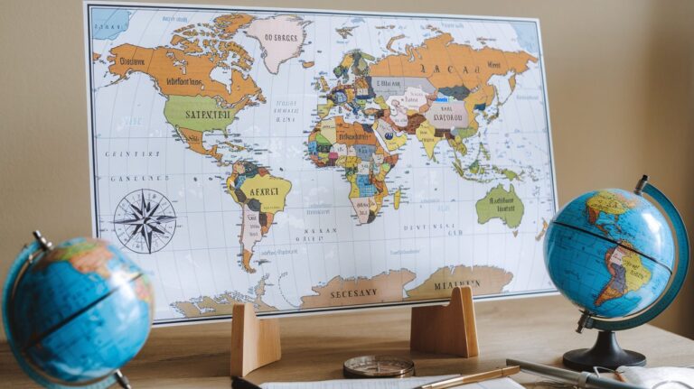
Elementary world geography lessons introduce basic concepts through concrete examples and visual materials. Students ages 6-10 learn continents, oceans, and major countries through songs, games, and simple maps. Cultural awareness develops through exploration of holidays, foods, and traditions from different regions.
Middle school geography expands to systematic regional studies and thematic investigations. Students ages 11-13 analyze climate patterns, population density, and economic activities across world regions. Interactive geography activities include virtual field trips, cultural exchanges, and collaborative mapping projects that build critical thinking skills.
Elementary Geography Foundations
Primary students develop spatial thinking skills through hands-on activities and multimedia resources. Map skills progression starts with classroom layouts, expands to school grounds, then neighborhood and community mapping. Cultural awareness activities include pen pal programs, international celebrations, and family heritage projects.
Middle School Geographic Inquiry
Geographic research projects engage students in data collection, analysis, and presentation. Students investigate topics like climate change impacts, urbanization trends, and resource management through primary and secondary sources. Collaborative learning experiences include Model UN simulations, cultural fairs, and environmental action projects.
Interactive Teaching Methods and Resources
Modern geography teaching methods integrate digital tools with traditional techniques to maximize student engagement. Geographic Information Systems (GIS) software allows students to create, analyze, and interpret spatial data for real-world problem solving. Virtual reality experiences transport learners to distant locations for immersive cultural and environmental exploration.
Project-based learning connects world geography lessons to current events and local issues. Students investigate topics like sustainable development, natural disaster preparedness, and cultural preservation through multi-disciplinary approaches that incorporate science, history, and language arts standards.
Technology Integration in Geography Education
Digital mapping platforms like Google Earth and ArcGIS Online provide powerful tools for interactive geography lessons. Students create custom maps, analyze satellite imagery, and collaborate on geographic investigations that connect classroom learning to global issues. Augmented reality applications overlay digital information onto real-world environments for enhanced spatial understanding.
Geographic technology tools support differentiated instruction and accommodate diverse learning styles. Visual learners benefit from infographic creation and data visualization projects. Kinesthetic learners engage through GPS activities and outdoor exploration. Auditory learners participate in podcast creation and oral presentations about world regions.
Digital Mapping and GIS Applications
Students develop geospatial analysis skills through hands-on experience with professional-grade mapping software. Story Maps combine narrative elements with interactive cartography to communicate geographic concepts effectively. Data visualization projects help students interpret demographic trends, environmental changes, and economic patterns across different scales.
Virtual Field Trips and Immersive Experiences
Virtual geography experiences expand classroom boundaries to include global destinations and inaccessible locations. Students explore Arctic research stations, underwater ecosystems, and remote cultural sites through 360-degree videos and interactive simulations. These experiences supplement traditional textbook learning with authentic geographic contexts.
Assessment Strategies for Geography Learning
Comprehensive geography assessment methods evaluate both content knowledge and spatial thinking skills through varied formats. Performance-based assessments include map creation, geographic investigations, and multimedia presentations that demonstrate deep understanding. Formative assessments like exit tickets, concept mapping, and peer evaluations provide ongoing feedback for instruction adjustment.
Standardized assessments align with state geography standards and Advanced Placement requirements. Geographic skills assessment includes map interpretation, data analysis, and written responses that require application of geographic concepts to novel situations and contemporary issues.
Cross-Curricular Connections and Integration
Interdisciplinary geography projects strengthen learning by connecting spatial concepts to multiple subject areas. Science connections include climate studies, ecosystem analysis, and natural disaster investigations. History integration explores how geographic factors influenced human settlement, conflict, and cultural development throughout time periods.
Mathematics applications include scale calculations, statistical analysis of demographic data, and geometric concepts in map projections. Language arts integration develops through travel writing, cultural research reports, and literary geography that explores settings in world literature and their geographic significance.
STEM Geography Applications
Geographic science investigations combine spatial analysis with scientific inquiry methods. Students investigate climate change impacts through temperature and precipitation data analysis. Environmental monitoring projects use GPS technology and data loggers to study local ecosystem changes over time.
Social Studies and History Connections
Historical geography lessons examine how past events shaped current political boundaries and cultural landscapes. Students analyze migration patterns, trade routes, and territorial changes that influenced contemporary world regions. Comparative studies highlight how geographic factors continue to influence political and economic relationships.
Professional Development and Resources for Educators
Effective geography teacher training includes content knowledge updates, pedagogical strategies, and technology integration techniques. National Geographic Education programs provide curriculum resources, professional learning opportunities, and classroom materials aligned with state standards. Geographic literacy initiatives support teachers in developing spatial thinking skills across grade levels.
Professional learning communities enable geography educators to share best practices, collaborate on curriculum development, and access current research in geographic education. Conference participation, webinar series, and graduate coursework help teachers stay current with evolving geographic concepts and teaching methodologies.
Current Trends and Future Directions in Geography Education
Contemporary world geography lessons address 21st-century challenges through sustainability education, global citizenship development, and cultural competency building. Climate change education integrates across multiple geographic themes, connecting physical processes with human adaptation strategies. Social justice geography examines spatial inequalities and environmental justice issues.
Future geography education trends include artificial intelligence integration, drone technology applications, and expanded virtual reality experiences. Citizen science projects engage students in real geographic research while building data collection and analysis skills. Global collaboration platforms connect classrooms worldwide for authentic cultural exchange and comparative geographic studies.
Related video about world geography lessons
This video complements the article information with a practical visual demonstration.
What you should know
What are the most effective teaching methods for world geography lessons?
The most effective methods combine interactive technology with hands-on activities. Digital mapping tools, virtual field trips, and project-based learning engage students actively. Inquiry-based approaches that connect local issues to global patterns help students develop critical thinking skills while building geographic literacy.
How can teachers make world geography lessons more engaging for students?
Engagement increases through multimedia resources, real-world connections, and student choice in topics. Interactive games, cultural exchange programs, and current event analysis make geography relevant. Incorporating student interests and local community connections helps personalize global learning experiences.
What technology tools work best for teaching world geography?
Google Earth, ArcGIS Online, and National Geographic Education resources provide comprehensive digital platforms. Virtual reality applications, GPS devices, and data visualization software enhance spatial learning. Social media platforms and video conferencing enable global classroom connections and cultural exchanges.
How do geography lessons align with state curriculum standards?
Geography lessons integrate with social studies, science, and mathematics standards through cross-curricular approaches. National Geography Standards provide framework for spatial thinking, human-environment interaction, and regional analysis skills. State-specific requirements vary but typically emphasize critical thinking, research skills, and global awareness.
What assessment strategies work best for geography learning?
Effective assessment combines traditional tests with performance-based evaluations. Map creation, research projects, and oral presentations demonstrate deep understanding. Formative assessments like concept mapping and peer discussions provide ongoing feedback while portfolios showcase student growth over time.
How can parents support world geography learning at home?
Parents can enhance geography learning through travel documentaries, cultural cooking experiences, and family heritage projects. Online geography games, atlas exploration, and current event discussions reinforce classroom concepts. Local museum visits and cultural festivals provide authentic geographic learning opportunities outside school.
| Teaching Component | Implementation Strategy | Student Benefit |
|---|---|---|
| Interactive Technology | GIS software, virtual reality, digital mapping | Enhanced spatial thinking and engagement |
| Project-Based Learning | Real-world investigations, collaborative research | Critical thinking and problem-solving skills |
| Cross-Curricular Integration | STEM connections, literacy integration | Deeper understanding across subjects |
| Cultural Exchange | Global classroom connections, pen pal programs | Global citizenship and cultural awareness |
| Differentiated Assessment | Multiple formats, performance-based evaluation | Accurate measurement of diverse abilities |