Geography Terms Guide: Master Essential Geographic Vocabulary
Understanding geography vocabulary is essential for students, professionals, and anyone interested in how our world is organized. Geographic terms help us describe and analyze the physical features, human settlements, and cultural patterns that shape our planet. This comprehensive guide covers the most important geography-related words used in the United States, from basic landforms to complex demographic concepts.
Physical Geography Terms and Landforms
Physical geography encompasses the natural features of Earth’s surface that form the foundation of our planet’s landscape. Topography refers to the arrangement of natural and artificial features on Earth’s surface, including mountains, valleys, plains, and bodies of water. Understanding these basic landform terms is crucial for interpreting maps, weather patterns, and environmental conditions across different regions.
The United States showcases diverse physiographic regions that demonstrate these geographical concepts in action. From the Rocky Mountains to the Great Plains, each region displays unique characteristics that geographers use specific terminology to describe. Relief measures the difference between the highest and lowest elevations in a given area, helping scientists understand the dramatic landscape variations found throughout America.
Mountain and Highland Geography Vocabulary
Mountain ranges represent some of Earth’s most dramatic topographical features, with specialized vocabulary to describe their formation and characteristics. An escarpment is a steep slope or cliff that separates two relatively level areas, commonly found along the edges of plateaus or mountain ranges. The continental divide in the Rocky Mountains serves as a prime example, determining whether water flows toward the Atlantic or Pacific Ocean.
Water Bodies and Coastal Geographic Terms
Coastal and aquatic geography includes specialized terms for describing water-related landforms and their interactions with land masses. An estuary forms where rivers meet the sea, creating unique ecosystems like those found in Chesapeake Bay. Watersheds define the land areas that drain into specific bodies of water, with the Mississippi River watershed covering approximately 40% of the continental United States.
Human Geography and Settlement Patterns
Human geography examines how people organize themselves across space and interact with their environment. Population density measures the number of people living in a specific area, typically expressed as people per square mile or square kilometer. The United States shows significant variation in population density, from over 27,000 people per square mile in Manhattan to less than one person per square mile in parts of Alaska.
Urbanization describes the process of population concentration in cities and metropolitan areas, a trend that has accelerated throughout American history. As of 2024, approximately 83% of Americans live in urban areas, making understanding urban geography terminology increasingly important. Megalopolis refers to very large urban areas formed by the merging of several cities, such as the Boston-Washington corridor along the Eastern Seaboard.
City Structure and Urban Planning Terms
Urban geography includes specific vocabulary for describing city layout and development patterns. The central business district (CBD) represents the commercial heart of a city, typically featuring the highest concentration of office buildings, retail establishments, and government facilities. Gentrification describes the process of neighborhood change where higher-income residents replace lower-income communities, often resulting in increased property values and altered community character.
Rural Geography and Agricultural Landscapes
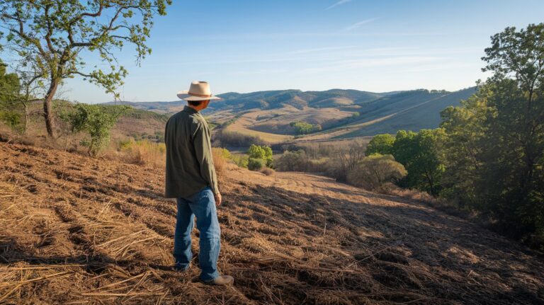
Rural geography encompasses the study of sparsely populated areas and their economic activities, particularly agriculture. Agricultural regions are defined by their primary crops and farming methods, such as the Corn Belt stretching across the Midwest. Subsistence farming contrasts with commercial agriculture, though both terms help geographers understand different approaches to land use and food production systems across various regions.
Climate and Environmental Geography Vocabulary
Climate geography involves understanding weather patterns, environmental conditions, and their impact on human activities. Climate zones classify regions based on temperature and precipitation patterns, with the United States spanning multiple zones from tropical in Hawaii and southern Florida to arctic conditions in northern Alaska. Biomes represent large-scale ecosystems characterized by distinctive plant and animal communities adapted to specific environmental conditions.
Environmental geography includes terms related to natural disasters and environmental challenges. Floodplains are low-lying areas adjacent to rivers that periodically experience flooding, requiring specialized zoning and development considerations. The urban heat island effect describes how cities experience higher temperatures than surrounding rural areas due to concrete surfaces and reduced vegetation, affecting millions of Americans in metropolitan areas.
Economic Geography and Resource Distribution
Economic geography examines how economic activities distribute across space and influence regional development. Natural resources include minerals, forests, water, and energy sources that form the foundation of regional economies. The United States possesses diverse resource endowments, from petroleum reserves in Texas and Alaska to timber resources in the Pacific Northwest and mineral deposits throughout the Rocky Mountain region.
Economic regions develop based on specialized industries and resource availability, creating distinct geographical patterns of production and trade. The Rust Belt describes former manufacturing regions in the Great Lakes area, while Silicon Valley represents a high-technology economic region in California. Understanding these economic geography terms helps explain regional variations in employment, income, and development patterns across America.
Transportation and Infrastructure Geography
Transportation geography focuses on the movement of people, goods, and information across space. Transportation corridors represent major routes connecting cities and regions, such as Interstate Highway System routes that facilitate commerce and travel. Hinterlands describe the areas served by major ports or cities, determining trade patterns and economic relationships between urban centers and their surrounding regions.
Trade and Commercial Geography Terms
Commercial geography examines patterns of trade, retail, and service activities across different locations. Market areas define the geographical extent from which businesses draw customers, varying significantly between local services and regional shopping centers. Comparative advantage explains why certain regions specialize in specific economic activities, such as agriculture in the Great Plains or technology industries in coastal metropolitan areas.
Cultural Geography and Regional Identity
Cultural geography studies how human cultures create distinct regional identities and landscapes. Cultural regions are areas sharing common cultural characteristics, such as language, religion, customs, or architectural styles. The United States contains numerous cultural regions, from the distinctive culture of New England to the unique characteristics of the American Southwest, each with its own geographical vocabulary and regional identity.
Cultural landscapes represent the visible imprint of human activity on the environment, including everything from agricultural field patterns to urban architectural styles. Vernacular regions are informal cultural areas identified by popular perception rather than official boundaries, such as the Deep South or the Pacific Northwest, demonstrating how cultural geography terms reflect regional consciousness and identity.
Map Reading and Spatial Analysis Terminology
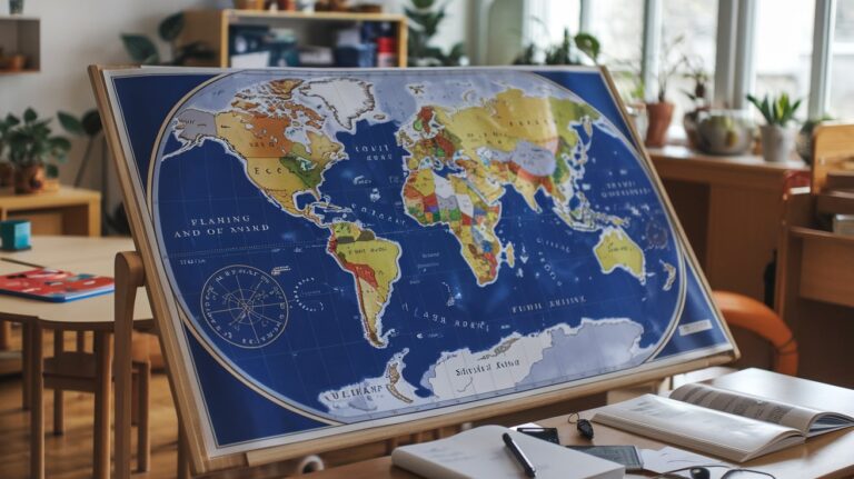
Cartographic vocabulary is essential for understanding and creating maps, which serve as fundamental tools in geographical analysis. Scale indicates the relationship between distances on a map and actual distances on Earth’s surface, typically expressed as ratios or verbal statements. Projection refers to the mathematical methods used to represent Earth’s curved surface on flat maps, with different projections serving specific purposes and introducing various types of distortion.
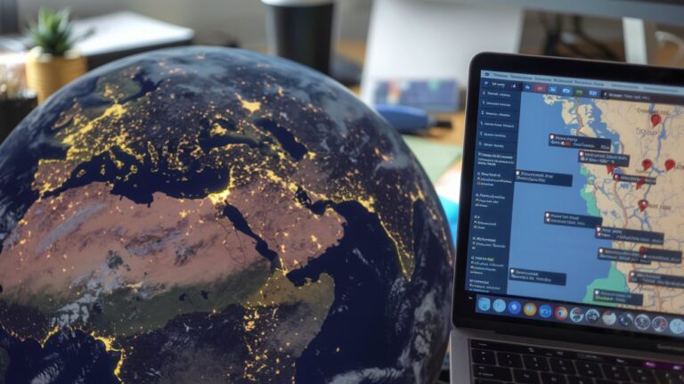
Modern geography increasingly relies on Geographic Information Systems (GIS) technology for spatial analysis and mapping. GPS coordinates use latitude and longitude to precisely locate any point on Earth’s surface, enabling accurate navigation and mapping applications. Remote sensing involves collecting geographical information from satellite imagery and aerial photography, providing valuable data for environmental monitoring, urban planning, and resource management across the United States.
Related video about words related to geography
This video complements the article information with a practical visual demonstration.
Questions & Answers
What are the most important geography terms every student should know?
Essential geography vocabulary includes physical terms like topography, relief, and watershed, human geography concepts such as population density and urbanization, and spatial analysis terms including scale, projection, and coordinates. Understanding climate zones, cultural regions, and economic geography terminology also provides a solid foundation for geographical literacy.
How do geographic terms help understand regional differences in America?
Geographic vocabulary helps explain regional variations by providing precise language for describing physical features, climate patterns, economic activities, and cultural characteristics. Terms like physiographic regions, cultural landscapes, and economic corridors help identify what makes each area of the United States unique in terms of environment, development, and regional identity.
What is the difference between physical and human geography terminology?
Physical geography terms describe natural features like landforms, climate, and ecosystems, including words such as topography, biomes, and watersheds. Human geography vocabulary focuses on human activities and settlements, encompassing terms like urbanization, population density, cultural regions, and economic geography concepts that explain how people organize space.
Why are geographic information systems and mapping terms important today?
GIS and mapping terminology are increasingly important due to widespread use of digital maps, GPS navigation, and spatial analysis in various fields. Understanding terms like coordinates, projection, scale, and remote sensing helps people interpret maps accurately, use location-based technologies effectively, and understand spatial relationships in our connected world.
How do environmental geography terms relate to current climate discussions?
Environmental geography vocabulary provides essential language for climate and sustainability discussions, including terms like urban heat island effect, floodplains, climate zones, and biomes. These terms help communicate environmental challenges, policy solutions, and regional variations in climate impacts affecting communities across the United States.
| Geography Category | Key Terms | Practical Application |
|---|---|---|
| Physical Geography | Topography, Relief, Watershed | Environmental planning and hazard assessment |
| Human Geography | Population Density, Urbanization | Urban planning and demographic analysis |
| Economic Geography | Economic Regions, Natural Resources | Business location and regional development |
| Cultural Geography | Cultural Regions, Vernacular Areas | Marketing and cultural understanding |
| Cartographic Terms | Scale, Projection, GIS | Navigation and spatial analysis |