What Does a Geomorphologist Do? Career Guide 2025
A geomorphologist is a specialized earth scientist who studies the physical features of Earth’s surface and the processes that shape them over time. These professionals analyze how landscapes form, evolve, and change through natural forces like erosion, weathering, and tectonic activity. In the United States, geomorphologists work across various sectors including environmental consulting, government agencies, academia, and private research institutions to solve complex environmental and geological challenges.
Core Responsibilities of Geomorphologists
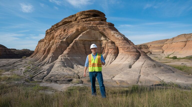
The primary role of a geomorphologist involves conducting comprehensive field research to understand landscape evolution. They collect soil samples, analyze rock formations, and use advanced technologies like GIS mapping and remote sensing to study terrain changes. These professionals spend significant time outdoors documenting geological features, measuring erosion rates, and monitoring environmental impacts on landforms.
Modern geomorphology work requires extensive data analysis using specialized software and computer modeling. Geomorphologists create detailed reports, publish research findings, and present their discoveries to scientific communities, government officials, and environmental stakeholders. They also collaborate with other earth scientists, engineers, and environmental consultants on multidisciplinary projects addressing climate change impacts and natural hazard assessment.
Educational Requirements and Skills
Becoming a professional geomorphologist typically requires a minimum of a bachelor’s degree in geology, geography, environmental science, or earth science. Most positions prefer candidates with master’s degrees, while research and senior-level positions often require doctoral degrees. According to the U.S. Bureau of Labor Statistics, approximately 78% of working geoscientists hold advanced degrees as of 2024.
Essential skills for geomorphology careers include strong analytical abilities, proficiency in statistical software, and expertise in field research techniques. Physical fitness is important since fieldwork often involves hiking in challenging terrain and working in various weather conditions. Computer skills are crucial for GIS mapping, data modeling, and creating detailed scientific presentations and reports.
Technical Skills and Tools
Modern geomorphologists must master various technological tools including geographic information systems (GIS), remote sensing software, and statistical analysis programs like R or MATLAB. They use GPS equipment, ground-penetrating radar, and digital elevation models to collect precise measurements. Proficiency in drone technology and satellite imagery interpretation has become increasingly important for landscape monitoring and analysis projects.
Soft Skills and Communication
Effective geomorphology professionals possess excellent written and verbal communication skills to explain complex geological concepts to diverse audiences. Project management abilities are essential for coordinating field studies, managing research timelines, and collaborating with multidisciplinary teams. Critical thinking and problem-solving skills help geomorphologists interpret data patterns and develop innovative solutions for environmental challenges.
Work Environment and Daily Tasks
A typical day for a geomorphologist varies significantly depending on their specific role and current projects. Field-based geomorphologists spend considerable time outdoors conducting site surveys, collecting samples, and documenting landscape features. They may work in diverse environments from coastal areas and mountains to deserts and river systems across the United States.
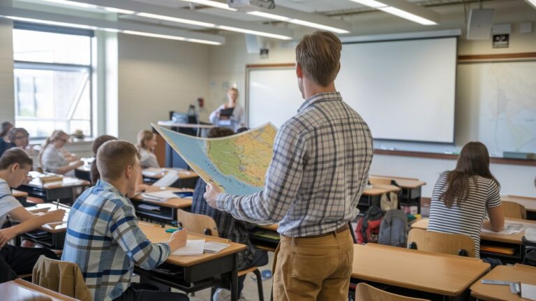
Office-based work involves analyzing collected data, creating detailed maps, writing technical reports, and developing computer models. Many geomorphology professionals split their time between fieldwork and laboratory analysis, using microscopes and other equipment to examine soil and rock samples. Academic geomorphologists also dedicate time to teaching, mentoring students, and securing research funding through grant applications.
Career Opportunities and Employment Sectors
The geomorphologist job market spans multiple industries with diverse career opportunities. Environmental consulting firms employ geomorphologists to assess natural hazards, conduct environmental impact studies, and develop land management strategies. Government agencies like the U.S. Geological Survey, National Park Service, and Environmental Protection Agency hire these professionals for research and policy development roles.
Private sector opportunities exist in mining companies, engineering firms, and renewable energy organizations where geomorphologists evaluate terrain stability and environmental impacts. Academic institutions offer research and teaching positions, while non-profit environmental organizations employ geomorphologists for conservation projects and public education initiatives.
Government Employment
Federal and state government agencies represent major employers of geomorphologists in the United States. The U.S. Geological Survey employs hundreds of geoscientists for research projects, natural hazard monitoring, and environmental assessment programs. State geological surveys and environmental departments also offer stable career opportunities with competitive benefits and retirement plans.
Private Sector Opportunities
Environmental consulting represents the fastest-growing employment sector for geomorphology professionals. These firms conduct site assessments for construction projects, evaluate erosion risks, and develop mitigation strategies for development projects. Mining and energy companies employ geomorphologists to assess terrain stability and environmental impacts of extraction operations.
Salary Expectations and Compensation
The median annual salary for geoscientists including geomorphologists in the United States was $83,680 as of May 2024, according to the Bureau of Labor Statistics. Entry-level positions typically start between $45,000 and $55,000 annually, while experienced professionals with advanced degrees can earn $100,000 to $150,000 or more depending on their specialization and location.
Geographic location significantly impacts geomorphologist salaries, with higher compensation in states like California, Texas, and Alaska where natural resource industries are prominent. Government positions often provide comprehensive benefits including health insurance, retirement plans, and paid time off, while private sector roles may offer higher base salaries and performance bonuses.
Specialization Areas in Geomorphology
Modern geomorphology encompasses numerous specialization areas that allow professionals to focus on specific aspects of landscape science. Coastal geomorphology involves studying shoreline processes, erosion patterns, and sea-level change impacts. Fluvial geomorphologists specialize in river systems, analyzing channel formation, sediment transport, and flood dynamics across watersheds.
Climate geomorphology represents a rapidly growing field where specialists study how climate change affects landscape evolution. Glacial geomorphologists focus on ice-related landforms and processes, while urban geomorphologists examine how human activities modify natural landscapes in developed areas. Each specialization requires specific expertise and offers unique career opportunities.
Environmental Geomorphology
Environmental geomorphologists focus on understanding human impacts on natural landscapes and developing sustainable land management practices. They assess erosion risks, evaluate restoration project success, and design mitigation strategies for development projects. This specialization combines traditional geomorphology with environmental science principles to address contemporary environmental challenges.
Hazards and Risk Assessment
Natural hazard geomorphologists specialize in identifying and assessing risks from landslides, earthquakes, floods, and other geological hazards. They develop hazard maps, conduct vulnerability assessments, and provide recommendations for risk reduction strategies. This specialization is increasingly important as communities face growing natural disaster risks due to climate change and development in hazard-prone areas.
Job Outlook and Future Prospects
The employment outlook for geomorphologists and geoscientists shows steady growth with a projected 5% increase from 2024 to 2034, according to federal labor statistics. Climate change concerns, environmental restoration needs, and infrastructure development projects drive demand for qualified professionals. Renewable energy expansion requires geomorphological assessments for wind and solar installations.
Emerging technologies like artificial intelligence, machine learning, and advanced remote sensing create new opportunities for geomorphology professionals to enhance their analytical capabilities. The increasing focus on environmental sustainability and natural disaster preparedness ensures continued demand for geomorphological expertise across various sectors of the American economy.
Getting Started in Geomorphology
Aspiring geomorphologists should focus on building strong foundations in mathematics, chemistry, physics, and computer science during undergraduate studies. Gaining field experience through internships, research projects, and volunteer opportunities with environmental organizations provides valuable practical skills. Many universities offer specialized geomorphology courses and research opportunities that help students develop expertise in specific areas.
Professional development for geomorphology careers includes joining organizations like the Association of American Geographers or the Geological Society of America. Attending conferences, workshops, and continuing education programs helps professionals stay current with technological advances and research developments. Building networks with established professionals opens doors to mentorship opportunities and career advancement prospects.
Related video about what does a geomorphologist do
This video complements the article information with a practical visual demonstration.
What you should know
What degree do you need to become a geomorphologist?
Most geomorphologists need at least a bachelor’s degree in geology, geography, environmental science, or earth science. However, many employers prefer candidates with master’s degrees, and research positions typically require doctoral degrees. As of 2024, approximately 78% of working geoscientists in the United States hold advanced degrees beyond the bachelor’s level.
How much does a geomorphologist make per year?
The median annual salary for geoscientists including geomorphologists is $83,680 as of May 2024. Entry-level positions typically start between $45,000-$55,000, while experienced professionals with advanced degrees can earn $100,000-$150,000 or more. Salaries vary significantly by geographic location and employment sector.
Where do geomorphologists typically work?
Geomorphologists work in diverse settings including government agencies like USGS and EPA, environmental consulting firms, universities, mining companies, and engineering firms. They split time between fieldwork in various outdoor environments and office-based data analysis and report writing.
What tools and technology do geomorphologists use?
Modern geomorphologists use GIS mapping software, GPS equipment, remote sensing technology, ground-penetrating radar, and statistical analysis programs like R or MATLAB. They also utilize drone technology, satellite imagery, digital elevation models, and various field instruments for sample collection and measurement.
Is geomorphology a good career choice in 2025?
Yes, geomorphology offers excellent career prospects with 5% projected job growth from 2024-2034. Climate change concerns, environmental restoration needs, renewable energy expansion, and natural disaster preparedness drive increasing demand for qualified geomorphologists across multiple sectors.
What skills are most important for geomorphologists?
Essential skills include strong analytical abilities, proficiency in GIS and statistical software, excellent written and verbal communication, physical fitness for fieldwork, and critical thinking for problem-solving. Project management and teamwork skills are also crucial for collaborating on multidisciplinary projects.
| Career Aspect | Details | Benefits |
|---|---|---|
| Education Required | Bachelor’s minimum, Master’s preferred, PhD for research | Diverse specialization opportunities |
| Median Salary | $83,680 annually (2024) | Above-average compensation with growth potential |
| Job Growth | 5% projected increase 2024-2034 | Stable career outlook driven by environmental needs |
| Work Environment | Mix of fieldwork and office analysis | Varied, engaging work experiences |