Geography Lesson Plans Middle School: Complete Guide 2025
Middle school geography lesson plans must engage students while meeting educational standards and preparing them for high school coursework. Effective geography curricula combine interactive activities, technology integration, and real-world applications to help students understand spatial relationships, cultural diversity, and environmental systems. This comprehensive guide provides educators with proven strategies, detailed lesson frameworks, and assessment tools specifically designed for grades 6-8 geography instruction in American schools.
Essential Components of Middle School Geography Curriculum
Successful middle school geography programs incorporate five core components that align with National Geography Standards and state requirements. These elements include physical geography concepts, human geography themes, spatial analysis skills, geographic tools usage, and environmental stewardship principles. Research from the National Geographic Education Foundation shows that students who receive comprehensive geography education in middle school demonstrate 23% higher performance on standardized tests and improved critical thinking abilities.
The geography curriculum framework should balance theoretical knowledge with practical applications, ensuring students can connect classroom learning to real-world situations. Modern geography education emphasizes inquiry-based learning, where students ask geographic questions, acquire geographic information, organize data, analyze relationships, and answer questions through evidence-based conclusions.
Physical Geography Foundation Topics
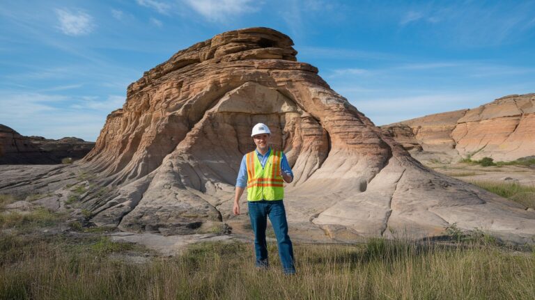
Physical geography lessons for middle school students should cover landforms, climate patterns, natural disasters, and Earth’s systems interactions. Key topics include plate tectonics, weathering and erosion, water cycle processes, and biome characteristics. Students must understand how physical features influence human settlement patterns and economic activities. Interactive maps, virtual field trips, and hands-on experiments enhance comprehension of complex geographic processes.
Human Geography and Cultural Studies
Human geography components focus on population patterns, migration, urbanization, and cultural landscapes. Students explore how people adapt to and modify their environments while examining cultural diffusion, economic systems, and political boundaries. Comparative studies of different regions help students appreciate diversity while identifying universal human needs and responses to geographic challenges.
Technology Integration in Geography Lessons
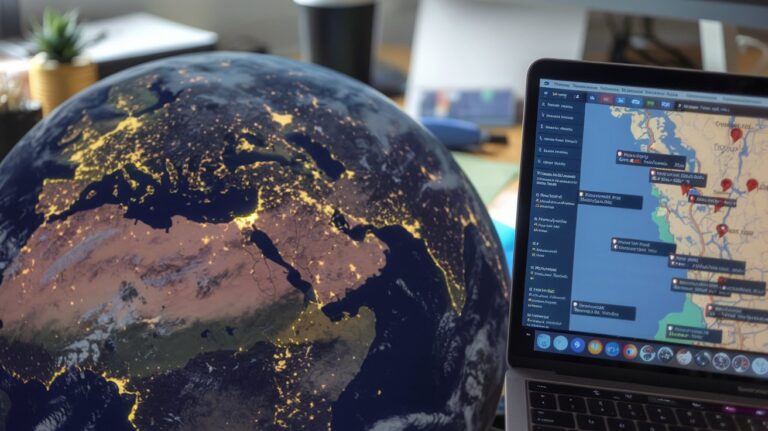
Digital tools revolutionize geography instruction by providing access to real-time data, satellite imagery, and interactive mapping platforms. Geographic Information Systems (GIS) software, now available in student-friendly versions, allows middle schoolers to analyze spatial data and create professional-quality maps. Popular platforms include ArcGIS Online for Schools, Google Earth Education, and National Geographic MapMaker Interactive, which offer free educational licenses.
Virtual reality applications enable students to explore distant locations and experience geographic phenomena firsthand. Technology integration should complement traditional teaching methods rather than replace them, with educators balancing screen time with hands-on activities and collaborative discussions.
Hands-On Activities and Project-Based Learning
Engaging geography activities transform abstract concepts into memorable learning experiences. Popular middle school projects include creating topographic models, designing sustainable cities, conducting weather monitoring experiments, and organizing cultural heritage presentations. These activities develop spatial thinking skills while encouraging creativity and collaboration among students.
Project-based learning approaches allow students to investigate real-world geographic issues such as climate change impacts, urban planning challenges, or natural disaster preparedness. Extended projects spanning several weeks enable deeper exploration of topics while developing research, analysis, and presentation skills essential for high school success.
Map Skills Development Activities
Map literacy remains fundamental to geographic education despite technological advances. Students must master coordinate systems, scale interpretation, symbol recognition, and direction determination. Progressive skill-building activities include treasure hunts using school maps, creating neighborhood surveys, and analyzing demographic data through choropleth maps. Digital and paper maps should be used together to develop comprehensive mapping competencies.
Field Work and Community Connections
Local field experiences bring geography concepts to life while reducing educational costs and logistical challenges. Students can study watershed systems, land use patterns, transportation networks, or historical geographic changes within their communities. Partnerships with local government agencies, environmental organizations, and cultural institutions provide authentic learning opportunities and career exploration possibilities.
Assessment Strategies for Geography Learning
Effective geography assessment combines formative and summative evaluation methods to measure student progress comprehensively. Traditional quizzes and tests assess factual knowledge, while performance-based assessments evaluate application skills and critical thinking abilities. Portfolio systems allow students to document learning growth over time while showcasing their best geographic work.
Authentic assessment tasks might include creating travel brochures, conducting environmental impact studies, or designing disaster response plans. Rubric-based evaluation provides clear expectations and constructive feedback, helping students understand quality standards while identifying areas for improvement.
Differentiation Strategies for Diverse Learners
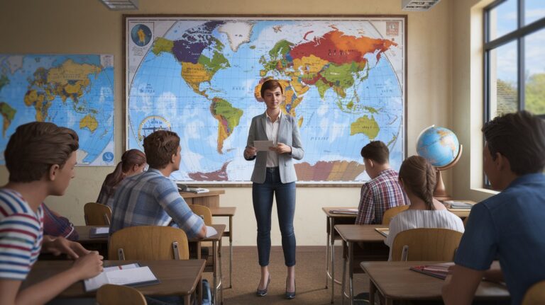
Middle school geography classrooms serve students with varying abilities, learning styles, and cultural backgrounds. Successful differentiation involves modifying content complexity, process approaches, product expectations, and learning environments to meet individual needs. Visual learners benefit from maps, charts, and graphic organizers, while kinesthetic learners thrive with hands-on activities and movement-based lessons.
English Language Learners require additional vocabulary support, visual aids, and collaborative opportunities to access geographic content successfully. Gifted students need enrichment activities, independent research projects, and leadership roles in group work to remain engaged and challenged throughout the curriculum.
Cross-Curricular Connections and Integration
Geography naturally connects with multiple academic disciplines, creating opportunities for interdisciplinary learning experiences. Social studies integration explores historical events within geographic contexts, while science connections examine environmental systems and natural phenomena. Mathematics skills develop through data analysis, graphing activities, and statistical interpretation of geographic information.
Language arts integration occurs through research projects, persuasive writing about environmental issues, and literature studies featuring different global regions. Art connections include creating cultural artifacts, designing maps, and illustrating geographic concepts through visual representations.
STEM Integration Opportunities
Geography offers numerous STEM connection points through data collection, analysis, and technological applications. Students can program weather stations, design earthquake-resistant structures, or model climate change scenarios using computer simulations. These activities demonstrate practical applications of scientific and mathematical concepts while reinforcing geographic understanding.
Historical Geography Connections
Combining history and geography helps students understand how past events shaped current geographic patterns. Lessons might explore how mountain ranges influenced migration routes, how climate affected agricultural development, or how natural resources sparked conflicts and trade relationships. This integrated approach develops temporal and spatial thinking skills simultaneously.
Standards Alignment and Curriculum Mapping
Successful geography lesson plans must align with National Geography Standards, Common Core State Standards, and Next Generation Science Standards where applicable. The eighteen National Geography Standards provide comprehensive framework for curriculum development, covering spatial understanding, places and regions, physical systems, human systems, environment and society, and geographic applications.
State standards may include additional requirements or emphases, making curriculum mapping essential for ensuring complete coverage. Teachers should document which standards are addressed in each lesson, identify assessment opportunities, and plan for spiral curriculum approaches that revisit concepts with increasing complexity throughout the year.
Professional Development and Resources for Teachers
Effective geography instruction requires ongoing professional development to stay current with pedagogical approaches, technological tools, and content knowledge. The National Council for Geographic Education offers workshops, conferences, and certification programs specifically designed for K-12 educators. Summer institutes and online courses provide intensive training opportunities without disrupting school schedules.
Professional learning communities allow teachers to share best practices, collaborate on lesson development, and solve common challenges together. Mentorship programs pair experienced geography educators with newcomers, providing guidance and support during the crucial first years of teaching.
Related video about geography lesson plans middle school
This video complements the article information with a practical visual demonstration.
Your questions answered
How often should geography be taught in middle school?
Most effective middle school programs include geography instruction 3-5 times per week for optimal learning retention. Daily exposure through integrated lessons or dedicated geography periods allows students to build upon concepts systematically while maintaining engagement through varied activities and assessments.
What technology tools are essential for middle school geography?
Essential technology includes interactive whiteboards, student tablets or computers, GIS software like ArcGIS Online, Google Earth Pro, and digital mapping tools. Weather monitoring equipment, GPS units for field work, and virtual reality headsets enhance learning experiences when budgets allow.
How can teachers assess geography learning effectively?
Effective assessment combines traditional tests with performance tasks, portfolio collections, and project presentations. Formative assessments include exit tickets, map quizzes, and discussion observations. Summative assessments might include research projects, map creation, or geographic problem-solving scenarios.
What are the most important geography skills for middle school students?
Core skills include map reading and creation, spatial analysis, data interpretation, cultural awareness, and environmental understanding. Students should master coordinate systems, scale calculation, pattern recognition, and the ability to connect local phenomena to global processes.
How do I differentiate geography instruction for diverse learners?
Differentiation strategies include providing multiple representation formats, offering choice in project topics, varying complexity levels, and incorporating collaborative learning. Visual aids support English Language Learners, while advanced students benefit from independent research opportunities and leadership roles.
What field trip alternatives work for geography education?
Virtual field trips using Google Earth, guest speakers from geographic professions, local community exploration, school grounds mapping projects, and video conferences with students from other regions provide authentic geographic experiences without travel costs or logistics challenges.
| Key Aspect | Important Details | Benefit |
|---|---|---|
| Technology Integration | GIS software, virtual reality, interactive maps | Enhanced engagement and real-world connections |
| Hands-on Activities | Map creation, field work, cultural projects | Improved retention and practical skill development |
| Standards Alignment | National Geography Standards compliance | Systematic skill progression and accountability |
| Cross-curricular Integration | STEM, history, and language arts connections | Reinforced learning and time efficiency |